This run starts at the confluence of the South Platte River with the North Fork of the South Platte and terminates a little over a mile downstream in Strontia Springs Reservoir. Before the dam went in, it was possible to run this canyon all the way into the plains. (There's an old article somewhere about people running this before the dam was constructed. If anyone can find it, add a link).
As long as you successfully dodge some of the dodgy people that tend to inhabit this area, this is a beautiful part of Colorado offering a nice respite from the bustle of the Denver metropolis. There's parking at the confluence adjacent to the long abandoned structure of the South Platte Hotel. There's a flat dirt road that parallels the run, but motorized vehicles are prohibited, making a foot shuttle your only option.
Despite its short distance, the run packs in a lot of class III-IV fun. I like to catch every eddy and surf every wave and hole. There's a nice attainment set that can be lapped on the first class II rapid of the run. At almost every level the holes aren't sticky enough to you hold you very long, offering some excellent hole riding practice. Midway through the run is a rapid called Avalanche. There's a large boulder that splits the river into two channels which is badly undercut. It's easy to avoid, but exercise caution when playing.
Green bridge is the crux of the run for most people. It's requires making a mildly technical move on a tongue from left to right at the entrance or punching a small hole, or doing a creeking move down the right side. The rapid continues for another 50 yards through lots of shallow rocks that provide ample incentive to nail the entrance. If you get bored of running it straight down the middle, try catching as many eddies as possible and surfing the nice wave half way down.
The run contains fairly deep channels which allow it be run fairly low while still piecing together fun moves. Because of dam controlled water from each branch that feed it, the run has a relatively long season and is often a refuge for class III boaters in the corner seasons.
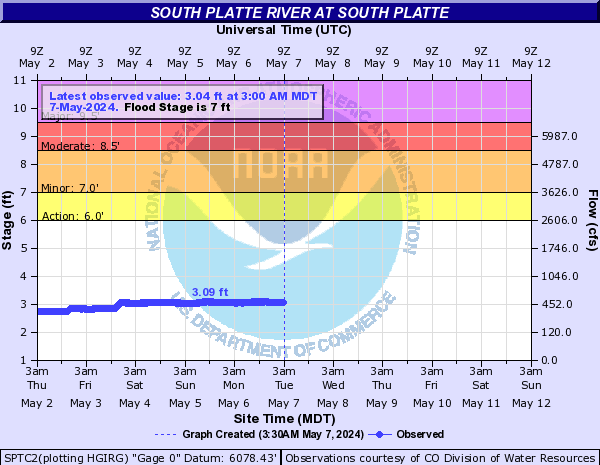
At very high flows (1500+) the run becomes a 5-10 minute class IV flush, with big waves and a few really big holes, and the river flow continues to move very quickly past the takeout and through the reservoir -- so a swim could easily result in lost gear.
| KSC | |
| Class | III- to IV- |
| Current Flow |
1190.0 CFS 06-26-2019 08:00 
View River Forecast |
| Recommended Flow |
Minimum: 250.0 Average: 600.0 Maximum: 2000.0 |
| Typical Season |
Begins: March Ends: November |
| Recommended Use |
Kayaking: Yes Rafting: No Canoeing: No SUP: No Packrafting: Yes Fishing: No |
| Primary Gauge | SOUTH PLATTE RIVER AT SOUTH PLATTE |
| Length | 1.0 Mile(s) |
| Gradient | FPM |