Post 2013 floods, there is now a 3-4 foot ledge/slide drop that forms a maybe surfable wave/hole (depending on flows) just around the corner from Veterans Park, north of Hwy 7 in Brighton. From there on it is more or less flat water through a post-apocalyptic industrial wasteland, with lots of waterfowl and beavers. The river bank is often crazy ugly rip rap, and there are a few avoidable strainers to be wary of. Lots of gravel bars, as all the topsoil was removed by the floods. There is a runnable diversion dam between the second and third bridge which may be an easy, non-keeper two foot drop, but is worth scouting as conditions may change if they adjust the dam. In 2013 there was an avoidable stump right in the middle of it which warrants scouting and could cause a dangerous problem for a novice boater.
The water here is 99% treated waste water and has a slightly unnatural smell. :) This is definitely a desparation run for winter or shoulder seasons, but I can think of a lot worse ways to spend an afternoon. This seems runnable with 250 cfs on up.
| Class | II |
| Current Flow |
919.0 CFS 06-26-2019 07:45 
View River Forecast |
|
Alternative Flow ([SOUTH PLATTE RIVER AT HENDERSON]) |
Visual or Unknown |
| Recommended Flow |
Minimum: 200.0 Average: 1500.0 Maximum: 5000.0 |
| Typical Season |
Begins: January Ends: January |
| Recommended Use |
Kayaking: No Rafting: No Canoeing: No SUP: No Packrafting: No Fishing: No |
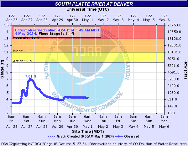
| Primary Gauge | SOUTH PLATTE RIVER AT DENVER |
| Length | 7.5 Mile(s) |
| Gradient | FPM |